
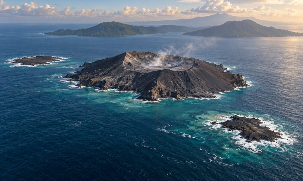
JAKARTA, Indonesia – Two small land formations have appeared near Indonesia’s Anak Krakatau after September’s prolonged eruption, presenting scientists with a consequential question: Has volcanic activity opened new outlets beneath the Sunda Strait, or merely piled debris above the water?
Indonesian authorities have confirmed the formations’ presence but remain cautious about their origin. Domestic reporting predates the October 2 international coverage: the state news agency Antara reported their detection on September 24, citing mariners, volunteers and Sentinel satellite imagery. The features lie approximately 760 meters northwest and 495 meters southeast of Anak Krakatau.
A Changing Coastline, an Unsettled Explanation
The eruption also enlarged Anak Krakatau itself. Reuters reported on October 3 that lava flows added approximately 32.8 hectares, or 81 acres, to the island. That expansion is separate from the two offshore formations, whose status as possible eruption centers still requires further investigation.
The distinction matters. Asri Oktavioni Indraswari, a geoscientist at the University of Indonesia, told Bloomberg that confirmed offshore vents would indicate activity extending beyond the volcano’s central conduit. Accumulated debris would suggest a different process—and potentially a shorter existence above water. Neither explanation has been established.
International scientific commentary likewise emphasizes uncertainty. Sebastian Watt, a volcanologist at the University of Birmingham, described a continuing contest between eruptive growth and marine erosion. Anak Krakatau’s own early history offers a precedent: land repeatedly emerged and disappeared before a lasting island became established in 1930.
Caution Along the Coast
Indonesia’s response has combined a lower alert level with restrictions around the newly identified features. Antara reported that, following the September 21 downgrade to Level II, authorities prohibited activity within two kilometers of the main crater and one kilometer of each formation. Officials also urged coastal residents to remain calm, reject tsunami rumors and follow local emergency guidance.
The discovery carries a human shadow. Tourism activist Yodistara Nugraha captured drone footage apparently showing the northwestern formation while searching for a missing reporting party. Reuters reported that the official search for eight people, including five journalists, was called off on September 18 after ten days—rather than remaining an ongoing official operation.
The emerging picture warrants sustained observation. Research published this year documents how Anak Krakatau’s growth has been shaped by its underwater foundations and uneven accumulation of volcanic material. That history suggests the formations’ significance will depend on what lies beneath them and how they develop, not simply on their appearance in satellite images.
Photo: AI Generated