
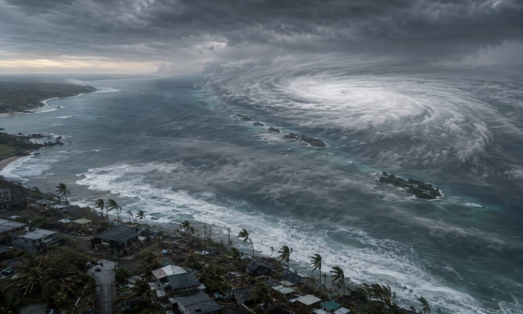
NAHA, Japan — Typhoon Dolphin moved slowly westward across the East China Sea on Sunday after subjecting Okinawa to roughly 40 hours of destructive winds, toppling trees, damaging homes and vehicles and leaving thousands of households without electricity.
The Japan Meteorological Agency continued to classify Dolphin as a large and “very strong” typhoon early Sunday. At 6 a.m. Japan time, the storm had a central pressure of 945 hectopascals, sustained winds of 162 kilometers an hour, or 101 miles an hour, and gusts reaching 216 kilometers an hour. Its center was about 310 kilometers north of Yonaguni Island and moving slowly west.
Okinawa Counts the Damage
Five people were injured in Okinawa, several after being knocked down by the wind, while another person was injured in Kagoshima Prefecture. None of the reported injuries were life-threatening. Officials and local media described fallen trees, damaged houses, an overturned vehicle and a car driven into a landmark banyan tree in Nago after its driver encountered a powerful gust.
The electricity figures changed sharply as repair crews restored service. Okinawa’s outages peaked at about 18,410 households on Friday afternoon, according to Okinawa Electric Power data reported locally. By 11 p.m. Saturday, 7,710 remained without power, nearly nine in 10 of them in northern Okinawa. A larger figure of more than 50,000 buildings reported internationally combined a separate snapshot of outages in Okinawa and Kagoshima; it should not be read as an Okinawa-only total.
Transportation remained badly disrupted. Okinawa’s major airports closed Friday, and all domestic flights serving the prefecture were ultimately canceled Saturday after airlines abandoned plans for limited evening service. About 63,000 passengers were affected Saturday alone, with further cancellations and recovery flights scheduled Sunday.
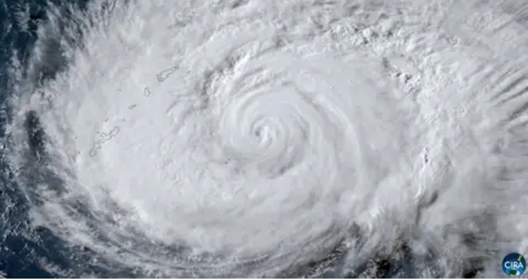 Satellite imagery showing Typhoon Dolphin approaching Japan’s Okinawa during the week
China Prepares for Wind — and a Larger Flood Threat
Chinese forecasters expected Dolphin, known domestically as Baihaitun, or “White Dolphin,” to make landfall between Zhoushan in Zhejiang Province and Fuding in northern Fujian late Sunday or early Monday.
Zhejiang raised its typhoon emergency response to Level I, its highest designation, at 8 p.m. Saturday. Authorities said outdoor gatherings, work, classes, businesses and transportation could be suspended, with roads closed if conditions deteriorated. Seven provincial rescue teams were dispatched to coastal and other high-risk areas.
At the national level, China maintained a Level III flood-and-typhoon response for Zhejiang and Fujian and added Level IV responses for Jiangsu and Anhui. Government teams were sent to the expected landfall region, while ports, ferries and tourist sites were closed, fishing vessels recalled and portions of the Yangtze River Delta rail network suspended. About 800 vessels had taken shelter in Ningbo, where the airport halted Sunday operations.
 The typhoon is expected to make landfall on China’s eastern coast late on Sunday or early on Monday
Forecasters said some locations could receive 200 to 400 millimeters of rain. Chinese meteorologists were particularly concerned that the storm might slow or loop after landfall, prolonging rainfall across Zhejiang and farther inland through Anhui, Jiangxi, Hubei and Henan. Its remnants could later interact with another weather system and bring heavy rain to Shandong and the Beijing-Tianjin-Hebei region. That outlook makes landslides, river flooding and urban inundation a potentially wider danger than the coastal wind damage.
Taiwan Faces Rain and a Maritime Dispute
Dolphin’s northern flank also disrupted Taiwan, where 78 flights — most of them international — were canceled and ferry services were curtailed. Taiwan’s weather agency forecast particularly heavy rainfall in northern mountain districts as the storm made its closest approach Sunday.
The storm also produced a political dispute after Beijing directed ships in the Taiwan Strait to follow Chinese traffic-control instructions. Taiwan’s government rejected the order, saying China had no authority to restrict navigation in international waters; its Coast Guard reported no direct interference with shipping.
El Niño Raises the Odds, but Does Not Explain One Storm
A strong El Niño is developing and is expected to intensify from August through October, according to the World Meteorological Organization. Historical research shows that western North Pacific cyclones during El Niño years tend to form farther east, remain over warm water longer and reach higher average lifetime intensities. A current seasonal forecast also projects regional cyclone activity in 2026 at roughly 40 percent above the 1991-2020 average.
But El Niño changes probabilities; it does not by itself cause or determine the strength of an individual typhoon. Dolphin’s development and track also depended on local ocean heat, atmospheric moisture, wind shear and steering currents. No formal event-attribution analysis has yet established how much El Niño or human-caused warming contributed to this particular storm.
The western North Pacific produces an average of 25.1 named tropical cyclones annually. About 11.7 approach Japan and three make landfall there, according to Japan’s 1991-2020 climatology. “Typhoon” is simply the regional term for a mature tropical cyclone in the northwestern Pacific; comparable storms are called hurricanes in the Atlantic and eastern Pacific.
Sources: JMA, WMO, CWA, China’s Ministry of Emergency Management, Ryukyu Shimpo, BBC
Graphic: Japan Meteorological Agency